
Kahului ZIP Coverage Guide
Official USPS evidence directly documents 96732 for Kahului and associates 96733 with Kahului routing. Nearby 96784 carries the Puunene label, while 96793 identifies Wailuku. Those nearby codes are useful comparisons, but neither should be counted as Kahului census-place coverage without an exact address and parcel check. The Kahului ZIP code directory therefore treats a postal code as a delivery clue, not a boundary certificate.
| ZIP Code | Areas Covered | Post Office | Notes |
|---|---|---|---|
| 96732 | Directly documented Kahului delivery area | Kahului locations | Not the same as the CDP boundary |
| 96733 | USPS-associated Kahului routing | Kahului association | Exact delivery classification not established |
| 96784 | Puunene locality | Puunene label | Nearby comparison, not automatic Kahului |
| 96793 | Wailuku locality | Wailuku label | County-seat comparison |
The sources did not establish the exact PO-box, unique, or standard classification for every 96733 use. That gap should remain visible. An exact street query through USPS is stronger than assigning a whole household or parcel from a routing table alone.
Search Kahului Postal Fields
The USPS ZIP Code Lookup offers three official modes. Address mode requires the street plus city and state context; company, unit, and ZIP are optional. City-and-state mode lists ZIP relationships for the place name. ZIP mode starts from a code. USPS results may show a facility, address, ZIP+4, and service details, but USPS warns that a result does not confirm a person or organization at that address.
| Mode | Required Input | Best Use |
|---|---|---|
| By address | Street, city, state | Normalize one delivery address |
| By city and state | City, state | Find codes tied to Kahului |
| By ZIP | ZIP code | Check the official postal label |
Keep a returned ZIP+4 as postal detail. Do not use it as a parcel key. Maui County identifies land through the tax map key, or TMK.
Map Kahului ZIP Leads
The Maui County combined GIS viewer supplies the parcel and county geography needed after a postal search.
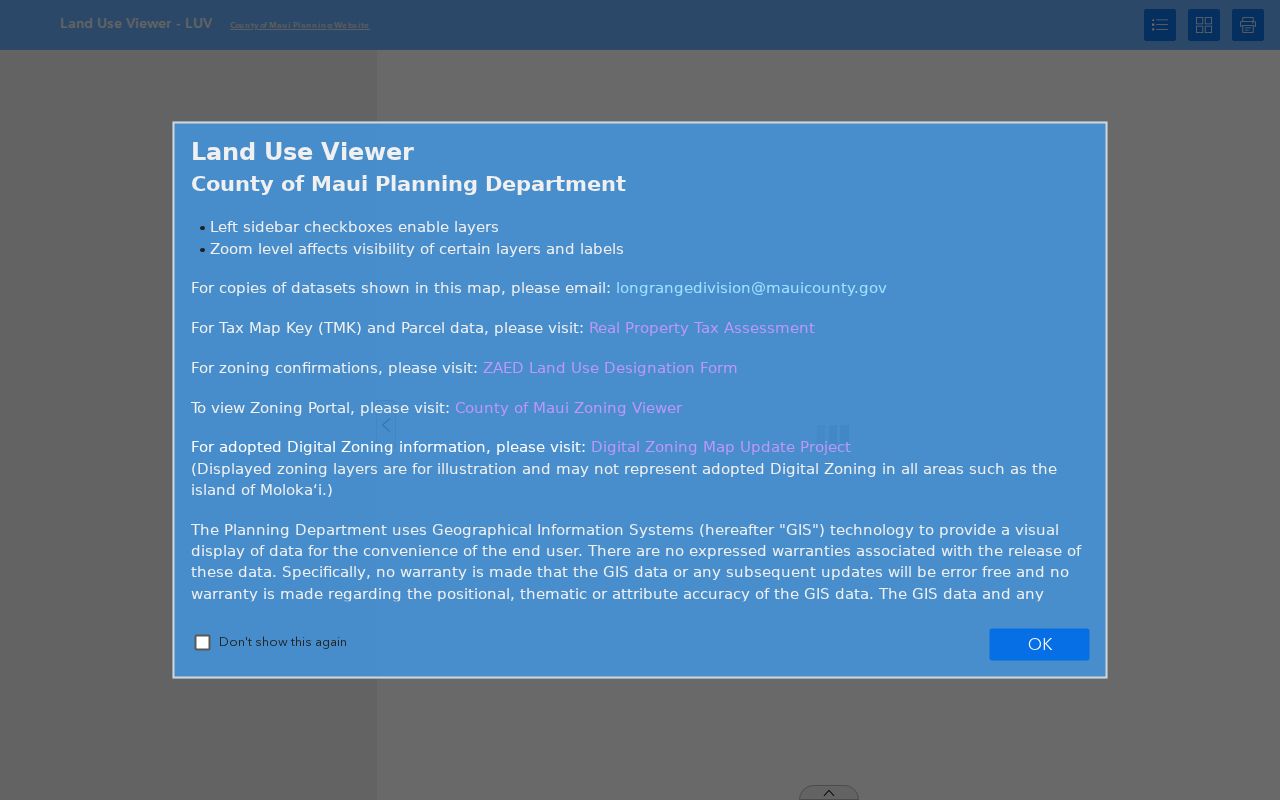
The map helps test whether the exact parcel sits in the Kahului CDP, while USPS remains the authority for its delivery code.
Normalize Kahului ZIP Records
A strong ZIP code directory keeps source fields separate. Preserve the street line and unit as printed, retain the postal city instead of replacing it with the census-place name, and store the ZIP or ZIP+4 exactly as returned. Add the Census CDP as a derived geography only after a TIGERweb check. Keep the parcel's situs, TMK, and legal description apart from the owner's mailing address.
| Original address | Keep its spelling, unit, date, and locality label |
|---|---|
| Postal result | USPS city, state, ZIP, and ZIP+4 |
| Census place | Derived from TIGERweb CDP geometry |
| Parcel identity | Maui situs, TMK, and legal description |
| Mailing address | Separate owner-contact field, not the parcel site |
This split matters in Kahului because Hawaiʻi has no incorporated places in the ordinary Census sense. The postal city, CDP, and County land system do not form one boundary.
Kahului ZIP Filter Limits
Most official resident-related portals do not offer an open ZIP-wide people list. The County Resource Directory can filter listed organizations by city, state, and ZIP, but it is not a household directory. The covered-offender registry has a ZIP control, yet its radius behavior may ignore ZIP and the registry is conviction-based. It is not a general resident roll.
Maui Real Property Assessment lists address, owner, TMK, map, sales, and location searches, but the inspected County description did not promise a ZIP filter. County permit forms expose address and city, not ZIP. The Bureau of Conveyances searches parties, TMK, document type, and date. eCourt and OLVR likewise provide no public ZIP-wide resident search. The absence of a filter should not be filled with a scraped list.
Narrow Kahului Residents by ZIP
A Kahului ZIP code directory is most useful as the first filter in a sequence. Confirm the postal code, move to an exact street address, then use County parcel tools or the record custodian appropriate to the question. This process limits false matches caused by shared routing and nearby locality labels.
- Run the exact address through USPS and save the postal city, ZIP, and ZIP+4.
- Check the address in Maui Real Property Assessment or GIS, using the TMK when available.
- Compare the mapped parcel with Census CDP geography only if place membership matters.
- Search the appropriate deed, permit, or dated directory record with the exact address.
- Label a ZIP-only result as a postal-area lead until another source confirms it.
Once a code narrows to a named road, the Kahului street directory provides the address-level record chain.
Historical Kahului ZIP Clues
Older directories, newspapers, and Sanborn sheets may predate modern ZIP use or omit the code. Keep the printed address intact. The USPS Domestic Mail Manual and Postal Bulletin place 96732 and 96733 in Kahului routing, while Puunene and Wailuku use other locality labels. Those current links can help normalize a later research field, but they should never be inserted into a 1900 to 1960 entry as though the source printed them.
A dated directory may abbreviate a street or use a plantation-era locality. Check the original line against County tax maps, Sanborn material, BOC legal descriptions, and library sources. Record both the historic form and the modern conclusion, with the source date for each.
Kahului Public Library is the in-person fallback for old directories and newspapers. Staff can help identify a dated volume even when no digital scan exists. For older land descriptions, the Bureau of Conveyances provides an online index from 1976 forward, while earlier work moves to its reference room or a written request. Those records use legal descriptions and TMKs rather than postal zones.
Kahului ZIPs and Census Scale
Census QuickFacts reports 28,219 people in the Kahului CDP in 2020 across 14.39 square miles, about 1,962 people per square mile. Those numbers describe Census geometry, not a USPS delivery zone. They cannot be assigned to 96732 or 96733 without a separate tabulation built for postal approximation.
The distinction is practical. Harbor, freight, railroad, and plantation history moved people and place names through Kahului, Puunene, Wailuku, Spreckelsville, and Paia. A historic person may appear under different locality labels even when the record trail concerns the same central Maui area.
When an online map or form does not answer the boundary question, contact the local post office for address formatting and County RPA, GIS, or Planning for parcel and locality facts. A written UIPA request may seek a specific existing County address map, parcel history, or public plan. It should not ask the County to create a new list of all people in a postal area. Name the map, parcel, date range, or record series so the custodian can route the request.
Kahului ZIP and CDP Boundaries
Kahului has a Census CDP boundary, not an incorporated city limit. USPS delivery routes answer where mail is sorted and delivered. Census ZCTAs approximate ZIP areas for statistics. Maui County parcels answer where land sits. A correct Kahului ZIP code lookup may therefore yield a postal answer that does not prove CDP membership, ownership, or current residence.
- ZIP and ZIP+4
- A ZIP groups delivery geography; the added four digits narrow mail handling further.
- PO-box ZIP
- A code used for post-office-box delivery rather than ordinary street delivery.
- Unique ZIP
- A code assigned to one high-volume organization or destination.
- Carrier route
- A mail-delivery route inside a ZIP, not a parcel or census boundary.
Boundary check. Treat every ZIP-only name or address as an unverified postal-area lead until USPS, County parcel data, or a dated record confirms it.
Verify Kahului ZIP Code Results
Use USPS to normalize a mailing address, but keep the original form beside the standardized result. Search by full address when one is known, by city and state to see associated ZIP codes, or by ZIP to see the postal city label. USPS identifies a delivery designation. It does not prove that a named person or business occupies the address, and it does not draw the legal boundary of the Kahului CDP.
Next, place the same address in Maui County GIS and the Real Property Tax system. County records use a situs address and TMK to identify land, while the owner mailing address may use a different ZIP or a post office box. Census TIGER geography answers whether the point falls inside the Kahului CDP. These three results can all be correct because postal routing, parcel identity, and census geography serve different purposes.
If an address does not resolve, try the County’s documented location search, parcel map, sales search, and downloadable extracts. Contact RPA for a tax-map or parcel question and County GIS for a layer or boundary issue. For an older address, check directories, newspapers, deeds, and Sanborn references before changing its spelling. Nearby 96784 Puunene and 96793 Wailuku labels must remain as the source printed them, even when the person had a broader Kahului connection.
Date Kahului ZIP Code Evidence
Postal labels and mapped boundaries can change on different schedules. Save the USPS result date, GIS layer date, assessment year, and wording from the original record. If two sources disagree, report what each system says and ask the relevant custodian to resolve its own field.